|
|---|
|
|
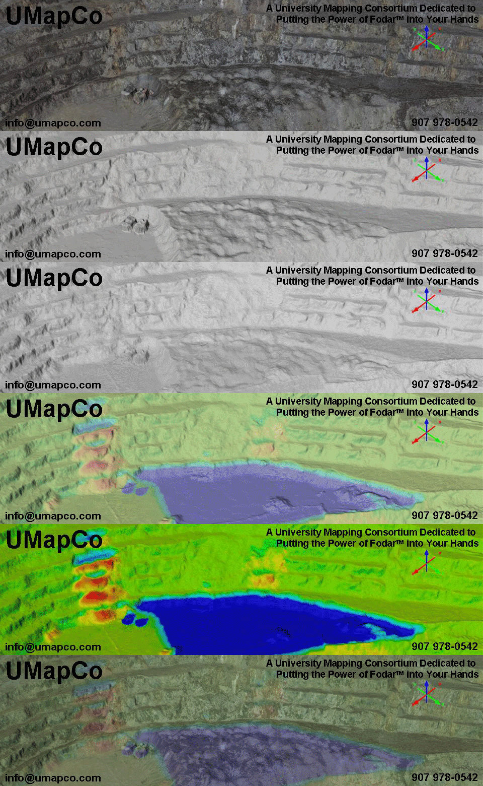
FodarEarth™ FodarEarth™ is an online visualization tool and archive for Fodar™ data. Here you will find all of the digital elevation models and orthophotos created by Fodar™ operators. You can fly in 3D over the earth and see all of our data in full detail in an efficient streaming environment (sorry, not available for Apple right now). One of the major problems with Fodar™ data is that it creates huge files. Imagine mapping an area of 10 km x 10 km at 10 cm resolution -- this creates a DEM and orthophoto that total 70 gigabytes. FodarEarth™ solves this problem by only serving you the data within your field of view, such that you can still zoom in to see full detail, but you only get those details you are actually zoomed in on. While FodarEarth™ has some rudimentary analysis tools, it is primarily a visualization environment. If you to use these data for more sophisticated analyses, you will need to purchase it as a file; the fee is nominal for academic and research purposes. Contact us for details. This link (not functional yet) will take you directly to the main globe of FodarEarth™. Note that a small application will download and install to take you into the environment. Note also that other Fodar™ globes exist of limited data sets and that these can be used locally offline. [Fodarearth is currently not online. Visit Skyline Globe here to see something similar using the same technology/] Navigation within FodarEarth™ can be done with a mouse or keyboard. When using the mouse, the middle scroll wheel plays an important role in navigation. |
|---|
(c) 2014 Matt Nolan
These images may not be reproduced for commercial purposes.